Application Description
Join the fight against sea level rise by participating in crowd-sourcing events through the Sea Level Rise app. This innovative tool empowers you to map flooding in your community, contributing vital data that helps document the impacts of sea level rise and other flooding events.
Sea level rise is a global issue that affects everyone in low-lying coastal areas. Our journey began in Hampton Roads, Virginia, where we've harnessed the power of thousands of volunteers during annual "Catch the King Tide" events. Developed by Wetlands Watch, this app fosters a better-informed and more connected community, enabling us to stay ahead of the challenges posed by rising sea levels.
With the Sea Level Rise app, you can access user-submitted information about this global phenomenon and actively participate as a volunteer in capturing essential street-level data. This data is crucial for researchers and civic leaders to better understand and address the challenges brought by sea level rise. Here’s what you can do with the app:
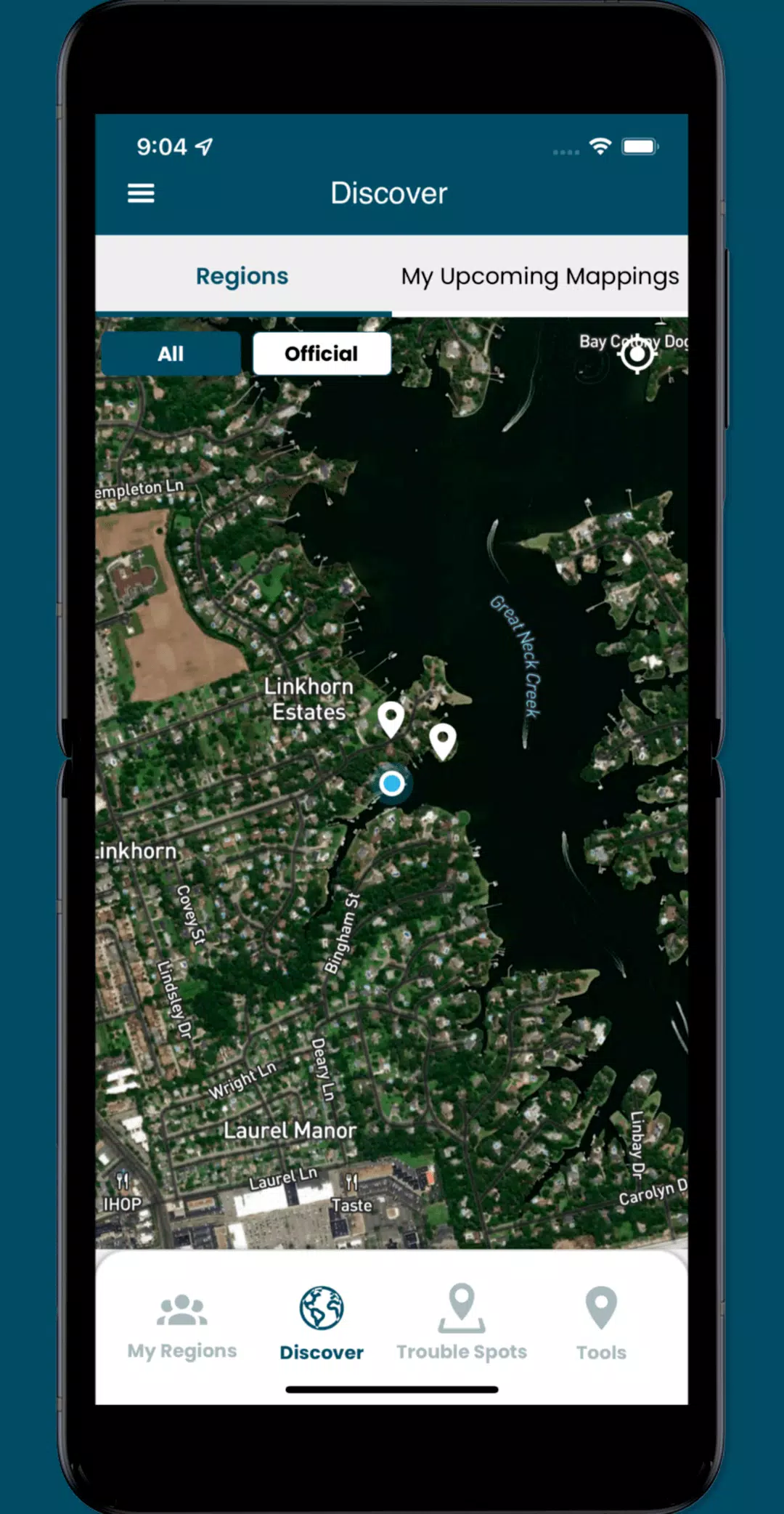
- Join crowd-sourcing events to gather the localized data that researchers and civic leaders need but often lack.
- Identify and report nearby "Trouble" spots where high water impacts your travel during bad weather.
- Capture and share photos to document the flooding occurrences in your community.
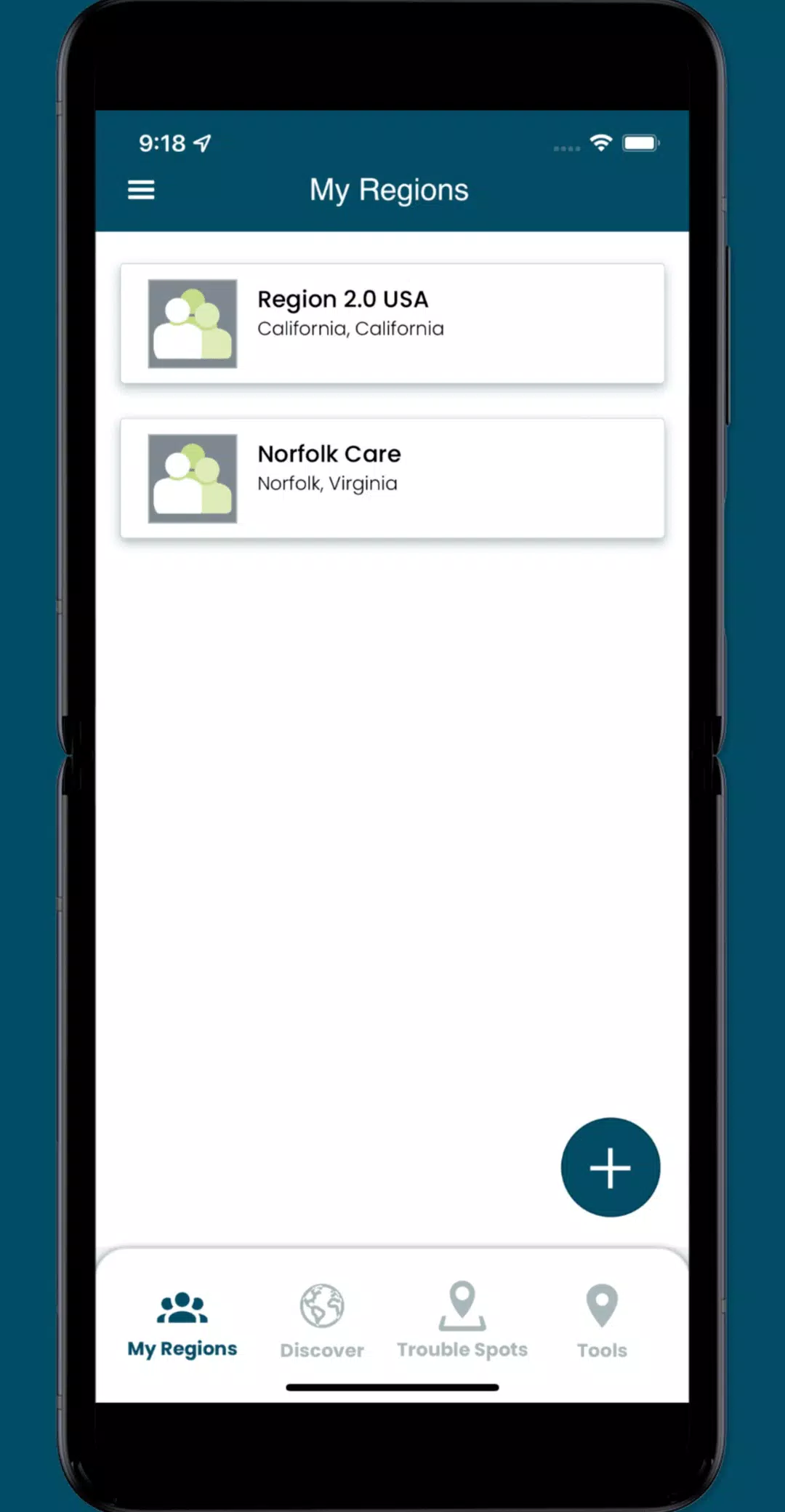
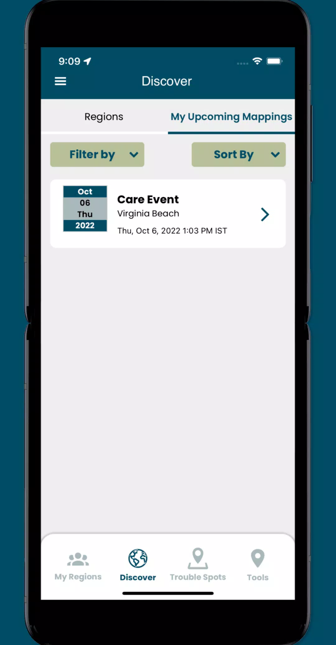
- Access specific collaboration spaces, known as regions, where you can manage volunteers and organize mapping events.
What's New in Version 3.0.9
Last updated on Oct 19, 2024
New in this version:
- Minor UI enhancements have been implemented.
- Several issues throughout the app have been resolved.
Screenshot
Reviews
Apps like Sea Level Rise